Newtongrange Local Place Plan
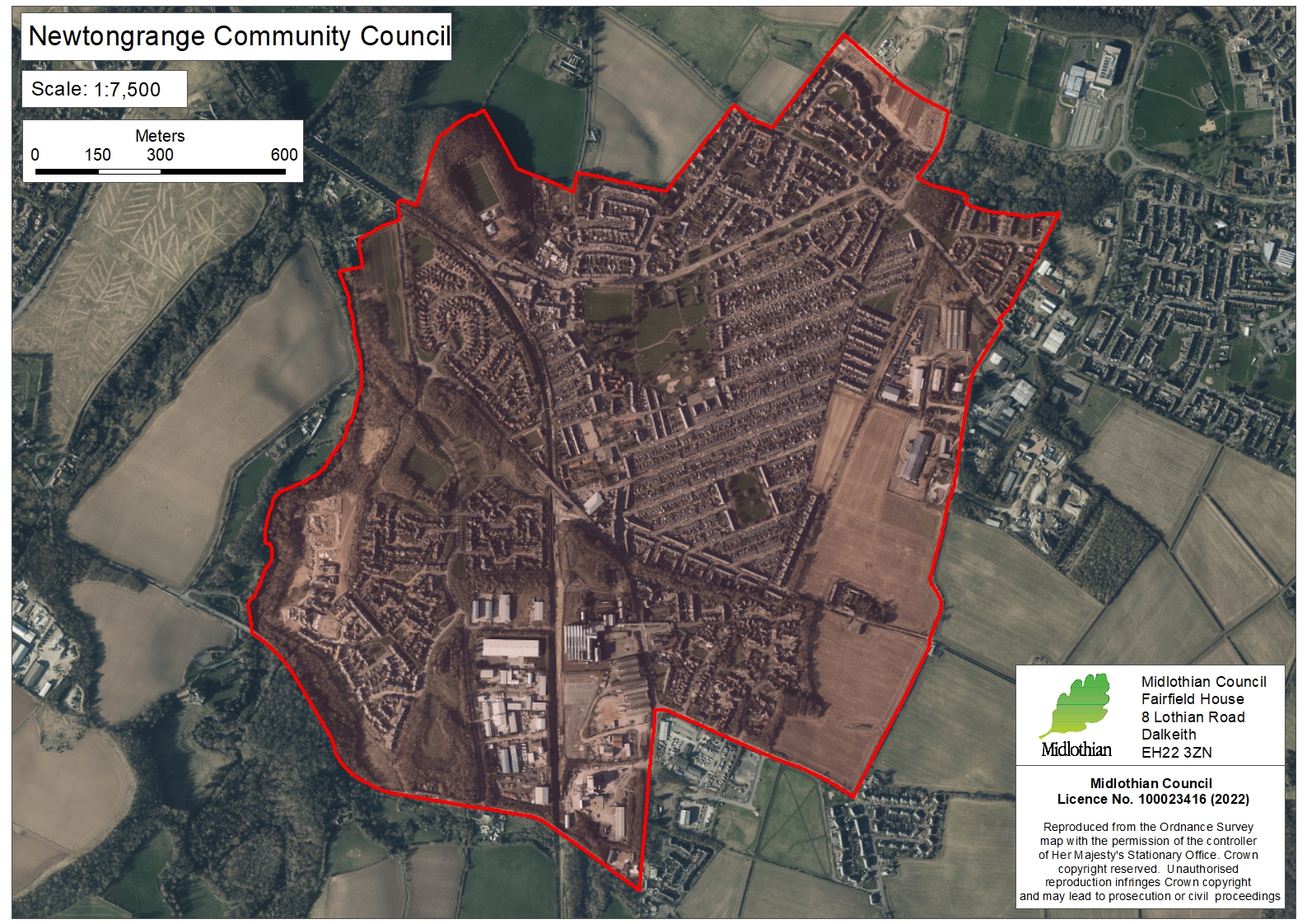
Newtongrange - LPP Area Map (Aerial 2021)
Local Place Plan prepared by Newtongrange Community Council.
Some files may not be fully accessible. Contact your community council for other formats.
- File type: JPG
- Size: 1.53 MB
Request this file in another format such as large print, Braille or in a different language.
Is there anything wrong with this page?